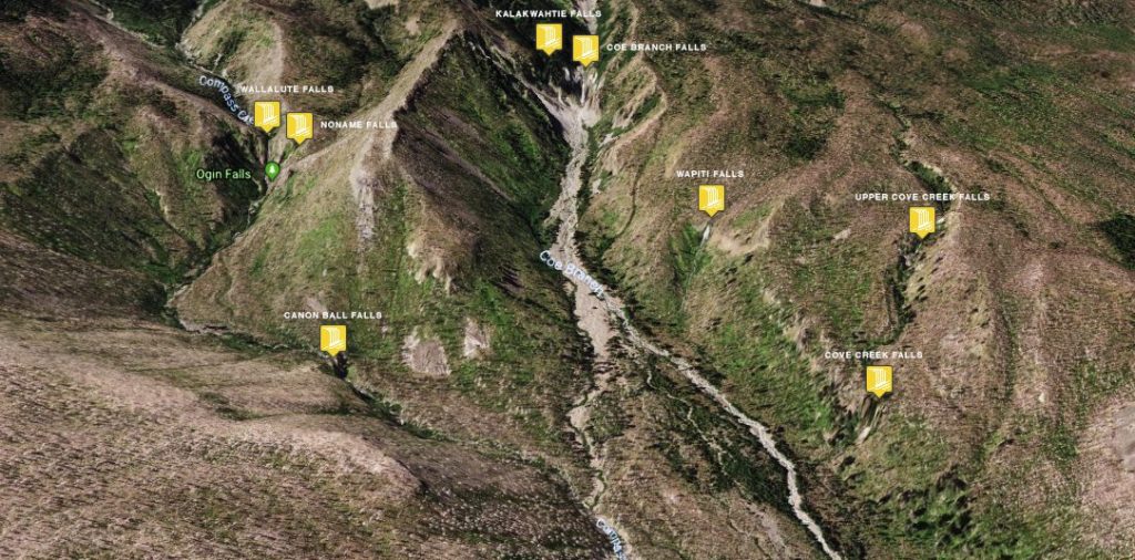
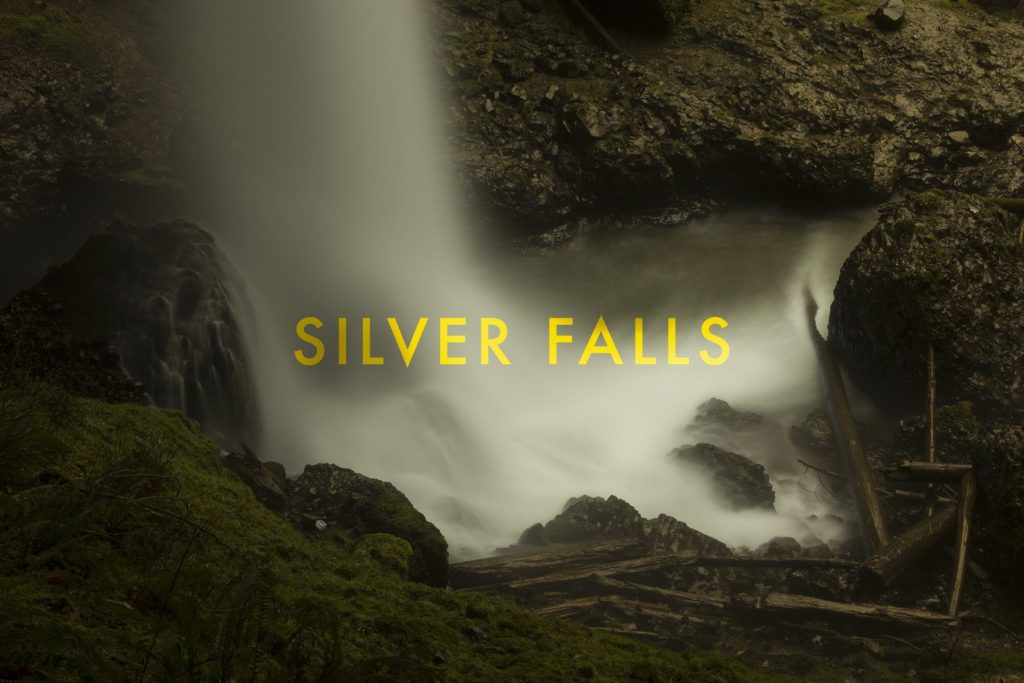
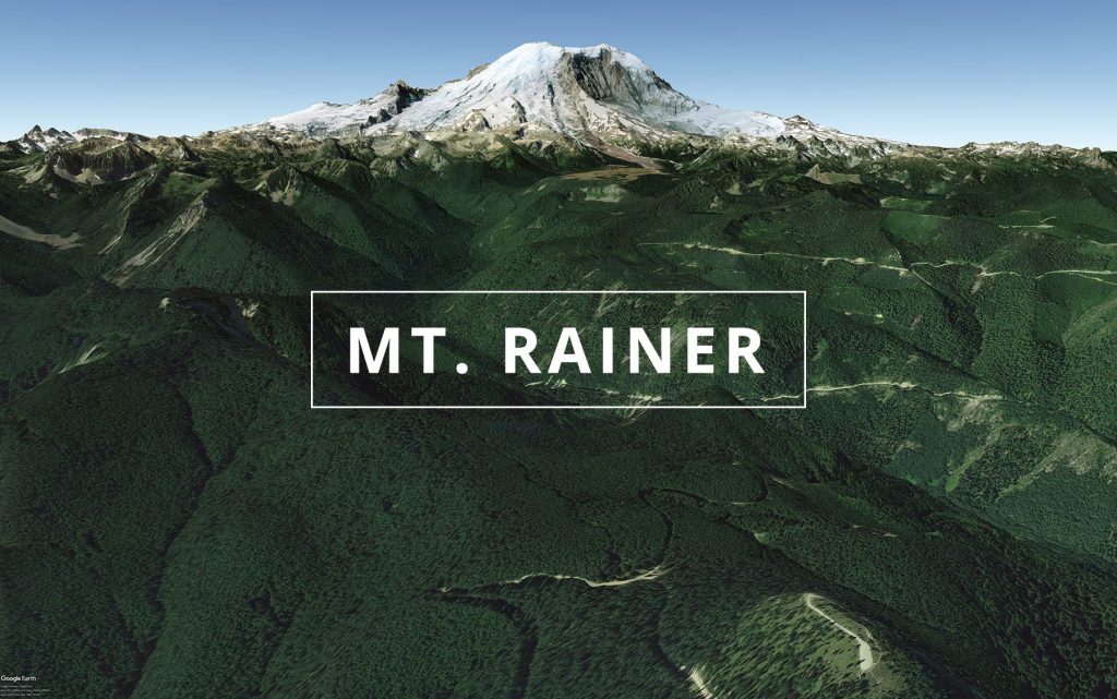
Located off some old logging/forest roads lies Abiqua Falls. Light meets shadow at high noon. Abiqua Creek (/ˈæbɪkwə/ AB-ih-kwə) is a tributary of the Pudding River in the U.S. state of Oregon. The creek originates near Lookout Mountain in the foothills of the Cascade Range in the northwestern part of the state. It flows northwest for about 29 miles (47 km) to its confluence with […]
Xiaolüren animation
Xiaolüren is the animated traffic light system in Taiwan. It was first implemented in Taipei City, between Songshou Road and Songzhi Road, in 1999, and came into widespread use around the country within a few years. wiki // 18 frame illustration
Rue Saint-Dominique & Rue Sainte-Catherine
35mm photos from 2007 & 2014 of some graffiti in Montreal – Google Street view launched in several cities that same year (2007) although screen shots are of current renderings. Maps
DABS1 & KAWS
Exploring the streets of Taipei we stumbled upon DABS1 graffiti on the walls of the Ximen (or Ximending) district of the Taipei metropolis – While looking on google earth street view after the fact I found images of the artist in the process. Coincidence? Easter egg? Interestingly the image appears on ‘google maps‘ but no […]
SVG loading animation
An SVG loading animation concept // scalable & lightweight See the Pen Loading by Christopher Lisle (@clisle) on CodePen.
Iceland
New gallery images from Iceland: christopherlisle.com/iceland
Yocum Ridge Falls
Stemming from a no-name glacier cascades three no-name waterfalls that run thru the summer on the west side of Mt. Hood. The Yocum Ridge Falls as they are know are located above the Muddy Fork basin making it a 6+ mile round-trip loop from Bald Mountain with some easy trail walking mixed with moderate bolder/riverbed/bushwhacking. […]
Wallalute Falls
I stumbled upon this waterfall via google maps on the north side of Mt. Hood labeled ‘Ogin Falls’. After doing a little research and trying to figure out the trail to it there seemed to be no trail, years of mis-labeled maps and books citing it on the Eliot Branch of the West Fork Hood […]
Silver Falls
Silver Falls is the largest state park in Oregon with an area of more than 9,000 acres. A logging community, tourist destination and the filming of the 1981 horror film Just Before Dawn are a few of local history accolades. In the early part of the 1900’s June D. Drake a local photographer began a campaign […]
Air & Sea
Some photos from the first 4 months of 2018 – info@christopherlisle.com