
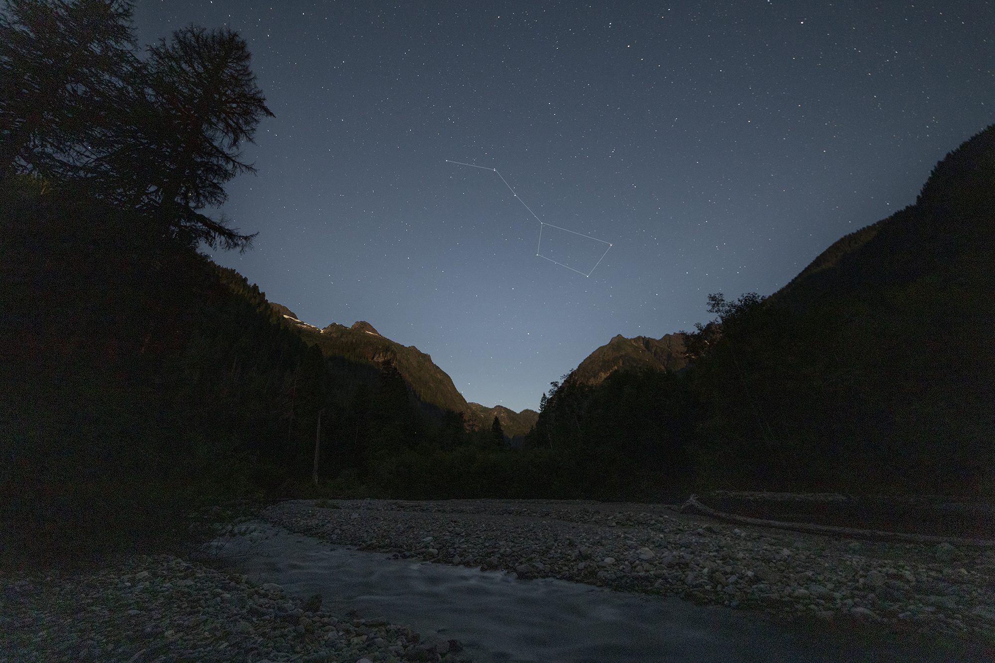
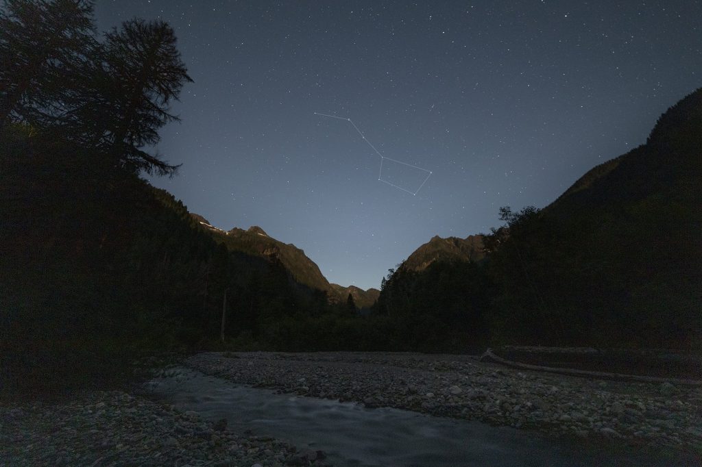
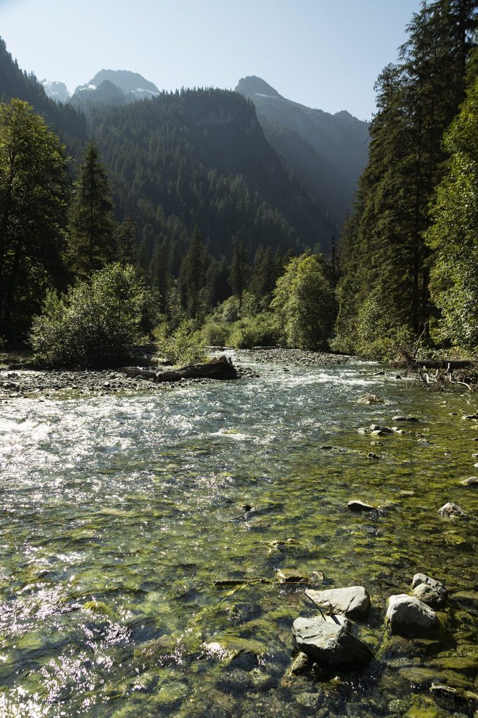
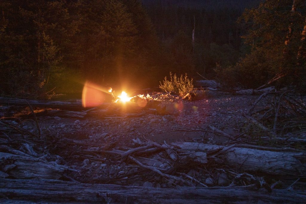
There’s a lot of lakes in Washington. I found one with no trail or notes but someone had hiked to the right of the same watershed and then veered right at the end. I took his notes verbatim, same time of year, same relative path, I’ve hiked 23 miles +vert in one day and didn’t think 5 miles of bushwhacking would end me. I’ve set out on many other bushwacking adventures with success but this was a different day. I had spent +2 days researching hiking notes of the area, elevation profile, satellite images, bear mace and all the other things. 4.3 miles in and a hike time of 4.5 hours dusk was setting in and we were in a steep ravine covered in berries, bear shit and big boulders – either go up stream another 2 hours to a suitable but sketchy camp spot (+mile to lake still) or turn back and camp near sandy river in a more open and less bear area. Made it back down river for 2 hours (1.5 miles) and camped then 2 hours back to car in the morning. Waist height rivers, bramble head height, big boulders, not sure I’ll revisit the same route but I found another route.
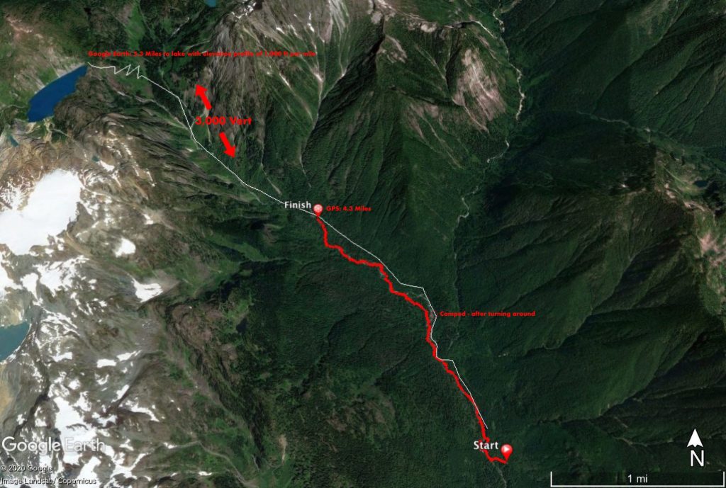
Initial calculations put this hike at 5+ miles in, at 4.3 miles with no cell service (downloaded maps) it was clear we were not making it to the lake for sunset/night photos. Frustrating to turn around but a better sense of the area and what’s possible going bushwacking.

Maybe the worst hike/bushwack I have gone on but my friend who I took said he had a great time? We didn’t turn around for a lack of motivation, machete, water shoes, 5L dry bag & raft would of been great…