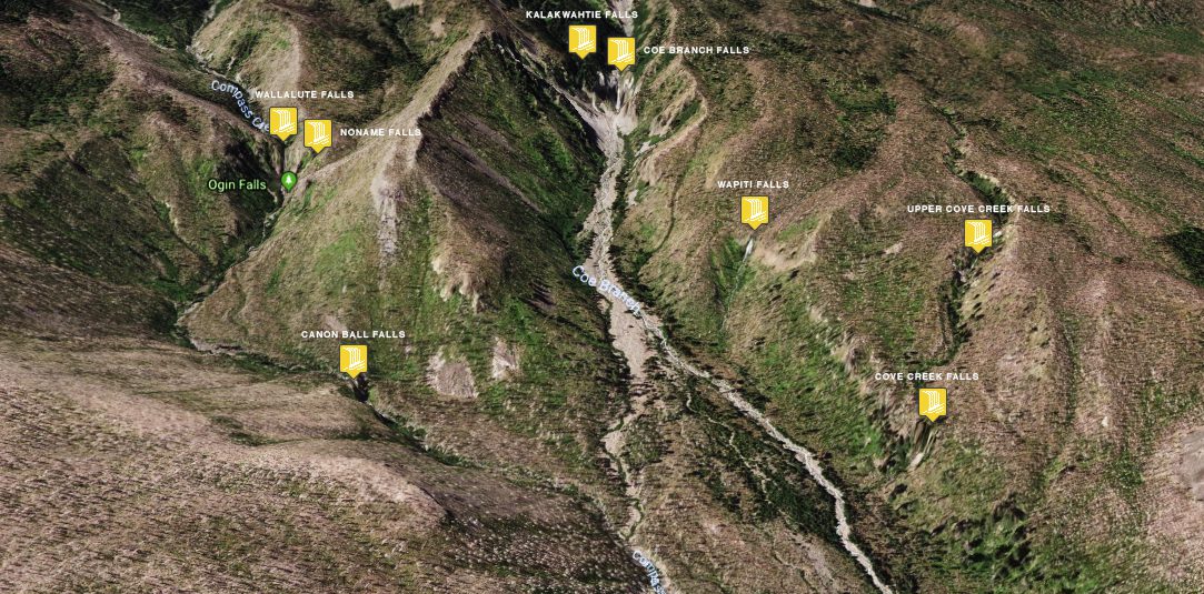
I stumbled upon this waterfall via google maps on the north side of Mt. Hood labeled ‘Ogin Falls’. After doing a little research and trying to figure out the trail to it there seemed to be no trail, years of mis-labeled maps and books citing it on the Eliot Branch of the West Fork Hood River which is actually known as Stranahan Falls. From 1890 to 2011 no other photo existed to match the falls know as ‘Wallalute Falls’ which is where google maps marker for ‘Ogin Falls’ sits. In 2011 ‘Wallalute Falls was photographed under the alias simple as Compass Creek Falls and Lower Compass Creek Falls (Canon Ball Falls). 
Debris from fires and floods have washed out much of the basin, to the right there is a sizable cascade that was active in May. Asides from the Wallalute Falls there are also a number of others that can be covered in a large loop. Having hiked Silver Falls the bushwhacking and remoteness was a nice change to the chatter of people on the trail.
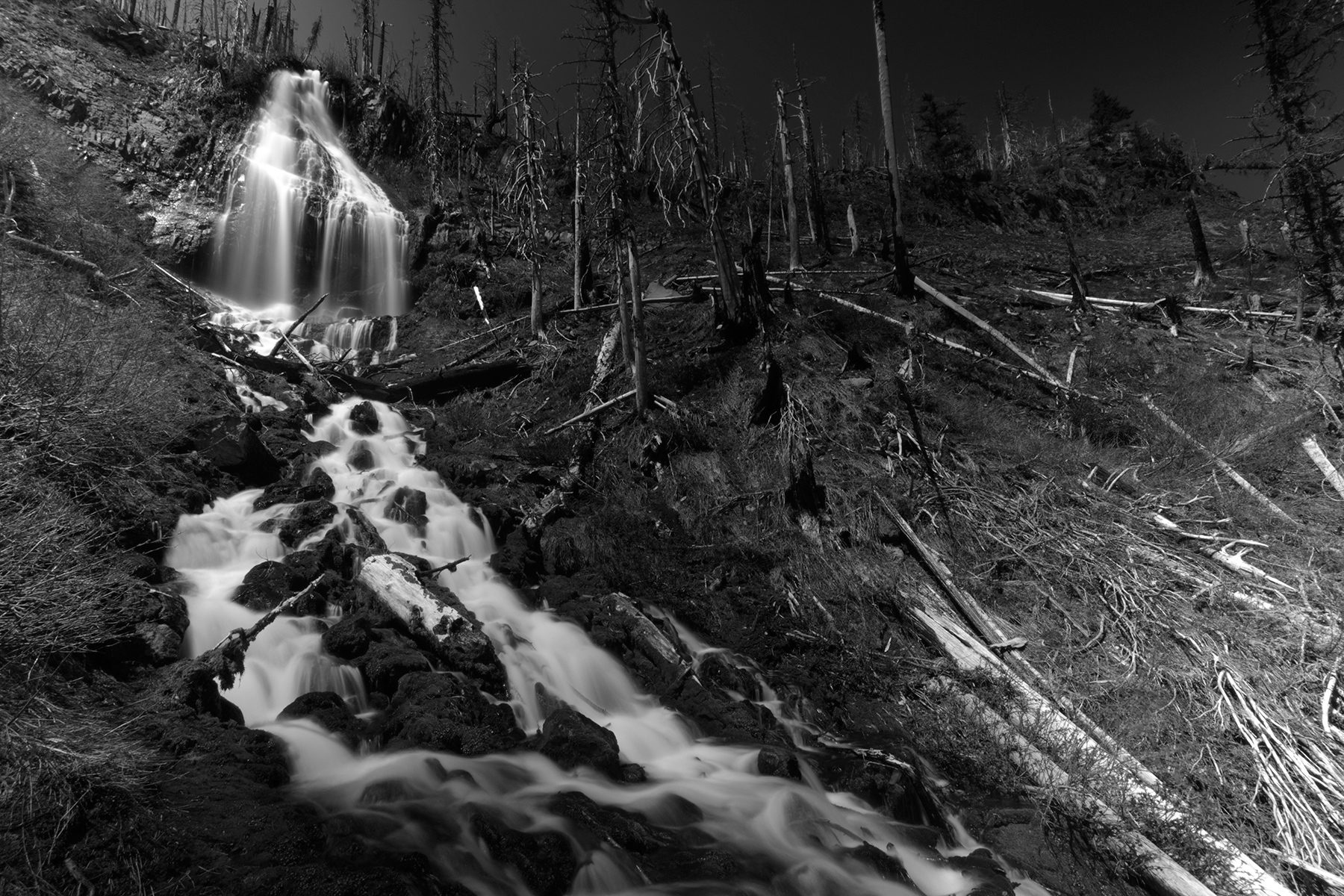
These are the main falls we saw on our long loop – bushwhacking thru lots of dead timber from fires, pricker bushes and steep ravines.
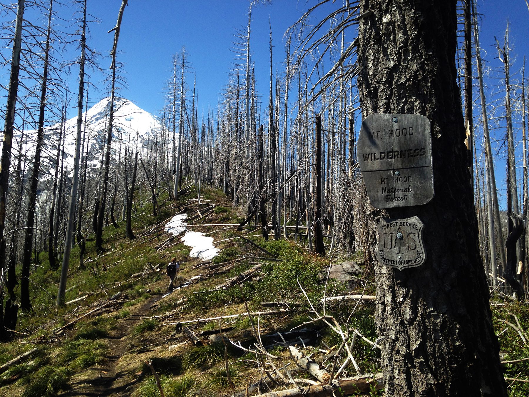
Shortly from here is where we left the trail down to Coe Branch

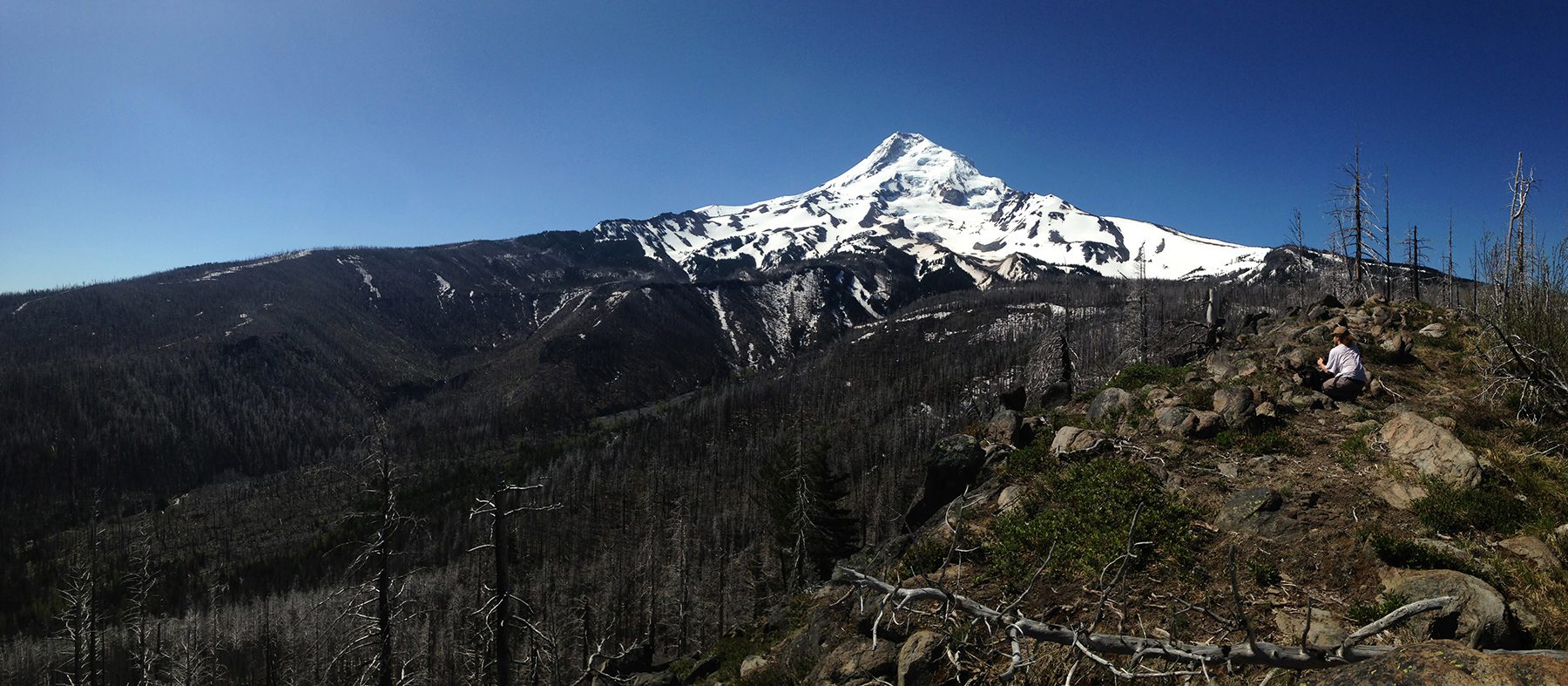
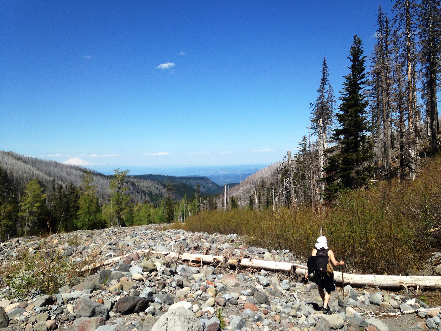
Managed to avoid for snow for 99% of the hike
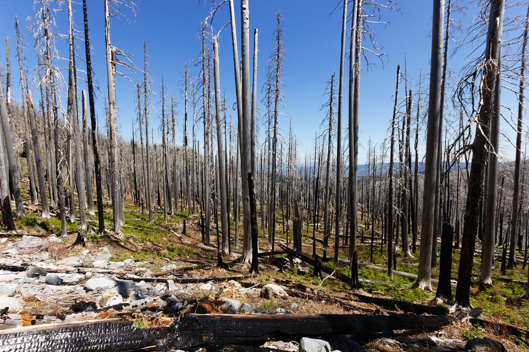
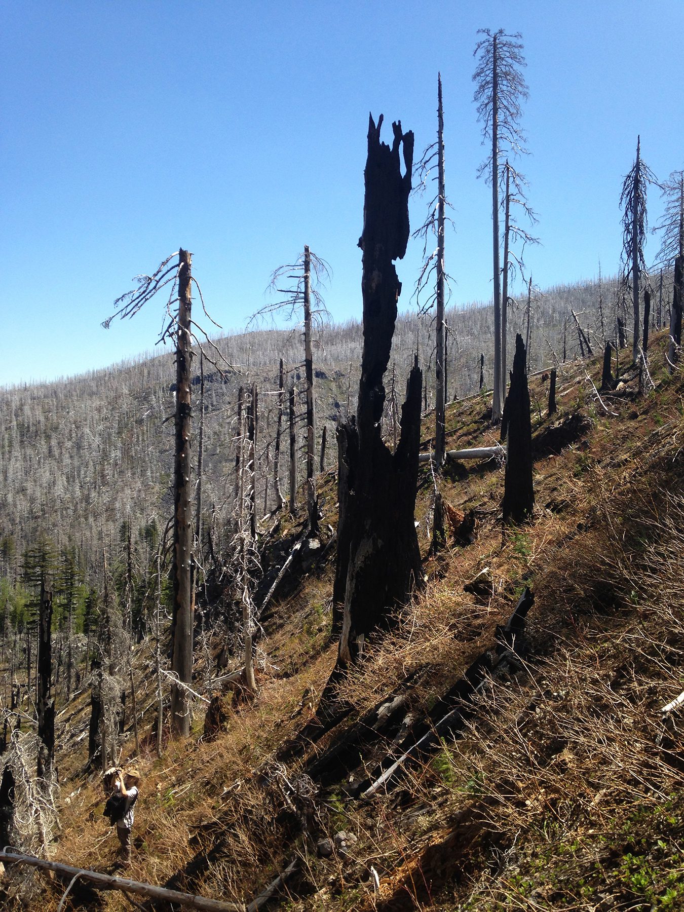
The leftovers of Dollar Mountain fire of 2011
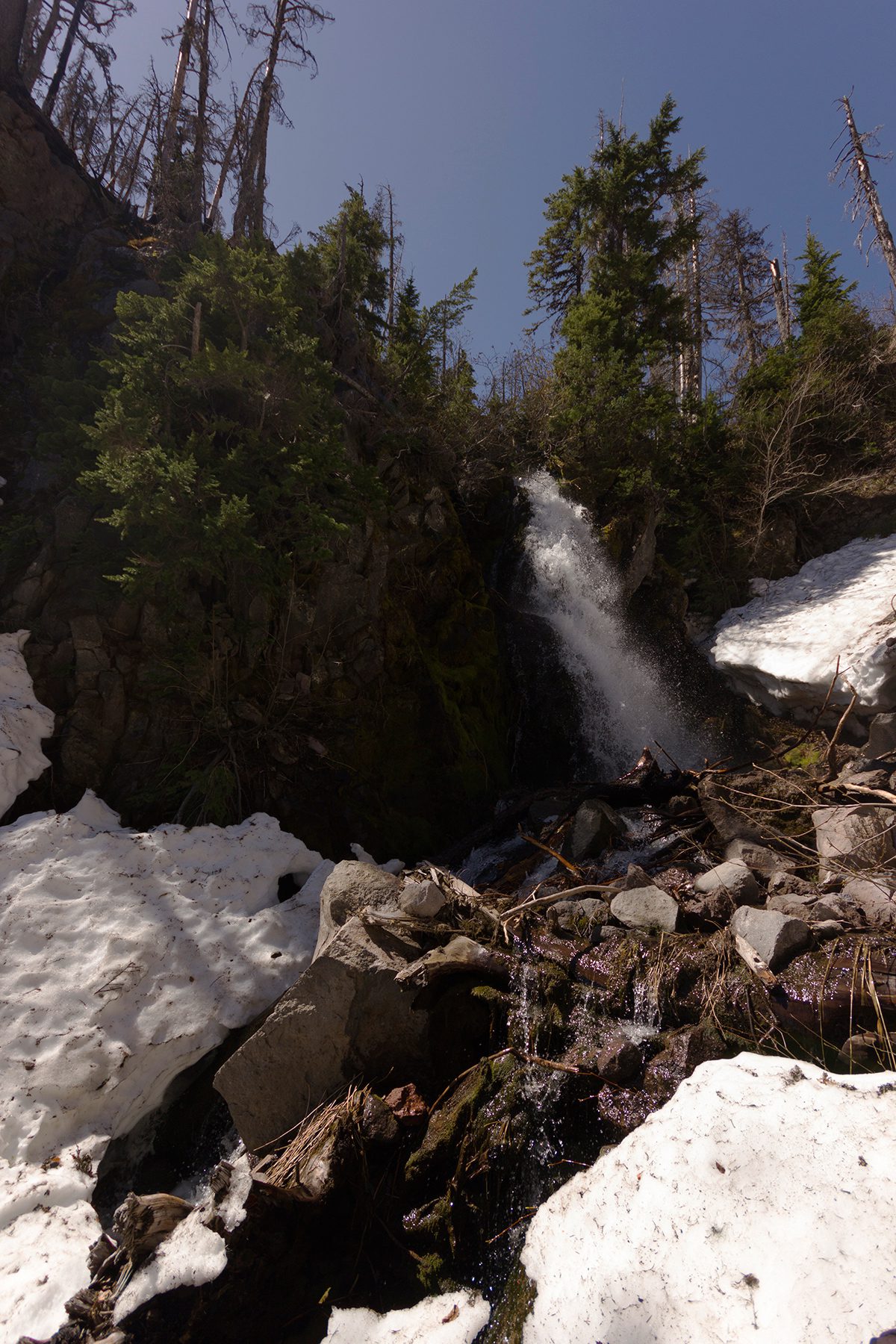
Upper Cove Creek Falls
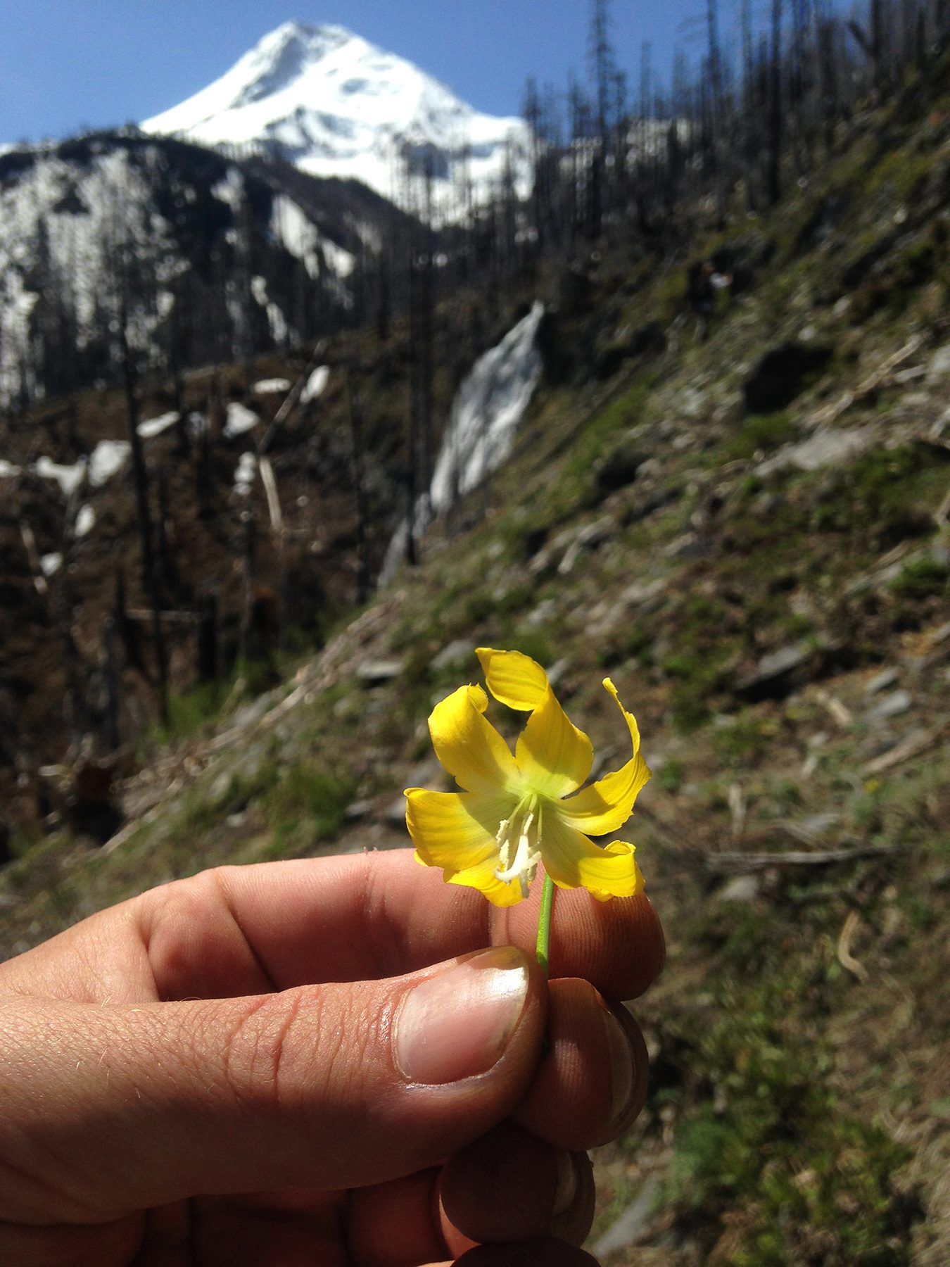
Glacier Lily – Wapiti Falls in the background & Mt. Hood
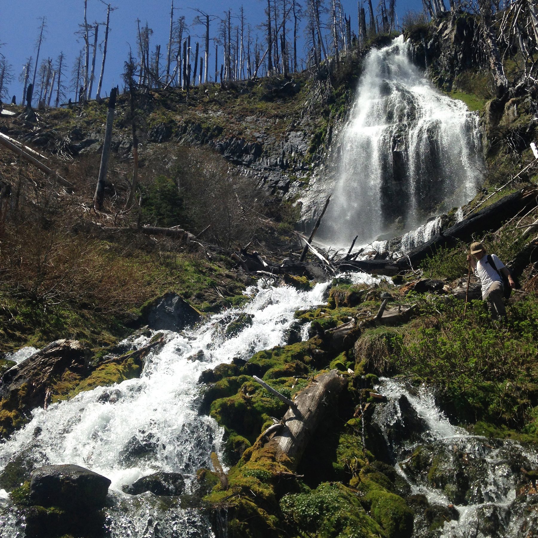
Wapiti Falls
Wapiti Falls
Heading down to the Coe Branch River
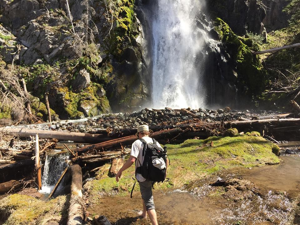
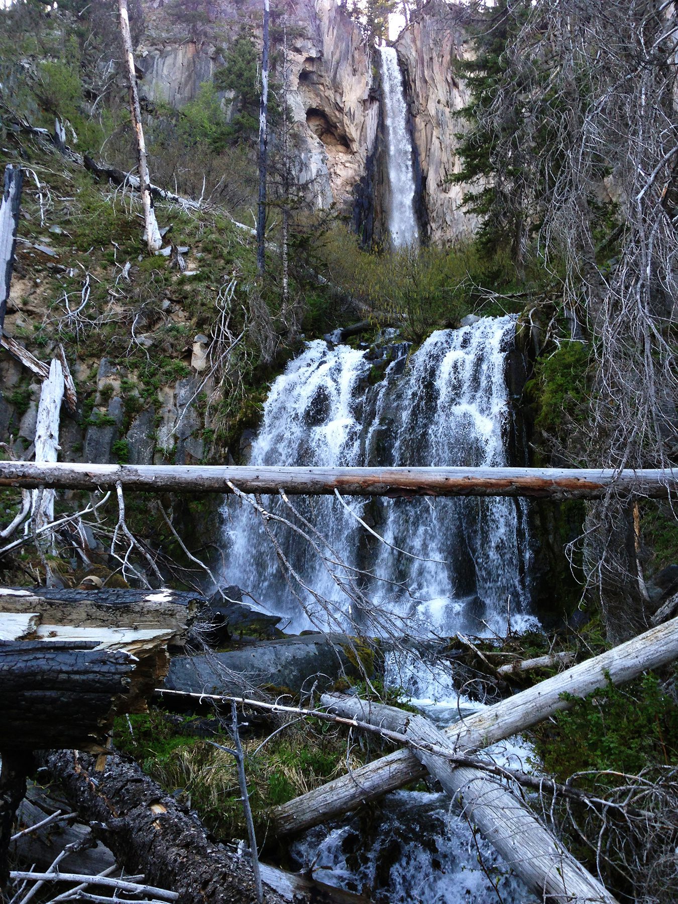
Approaching Coe Branch Falls – to the Left is Kalakwahtie Falls
Kalakwahtie Falls

Coe Branch Falls & Kalakwahtie Falls
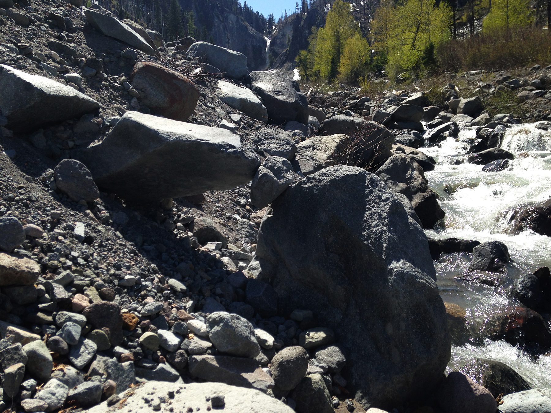
Found these rocks balancing – leaving Coe Branch & Kalakwahtie Falls
Walking to Canon Ball Falls from the Coe Branch
Canon Ball Falls – Walking across to take a photo of the falls
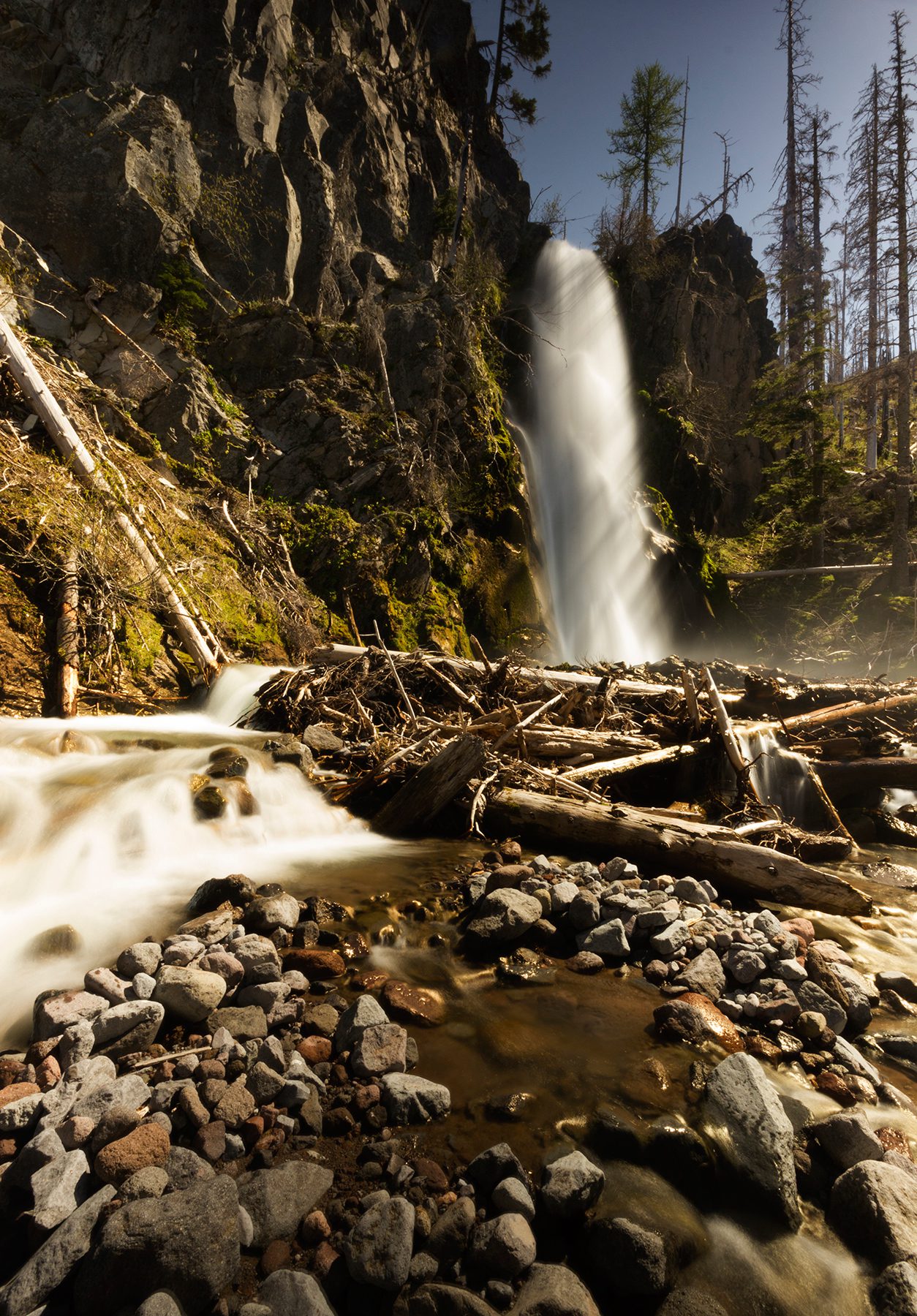
Canon Ball Falls
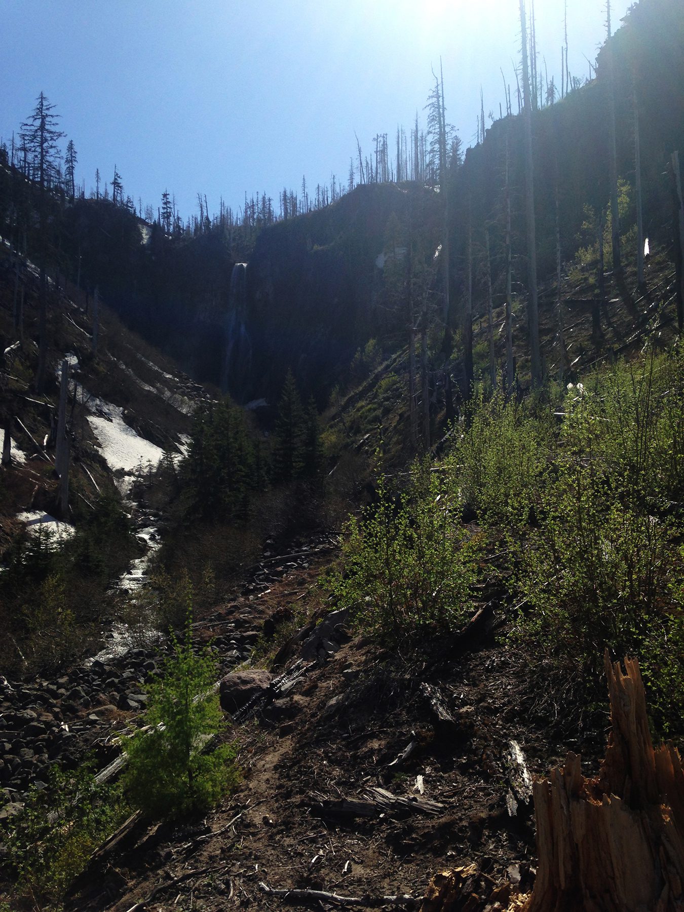
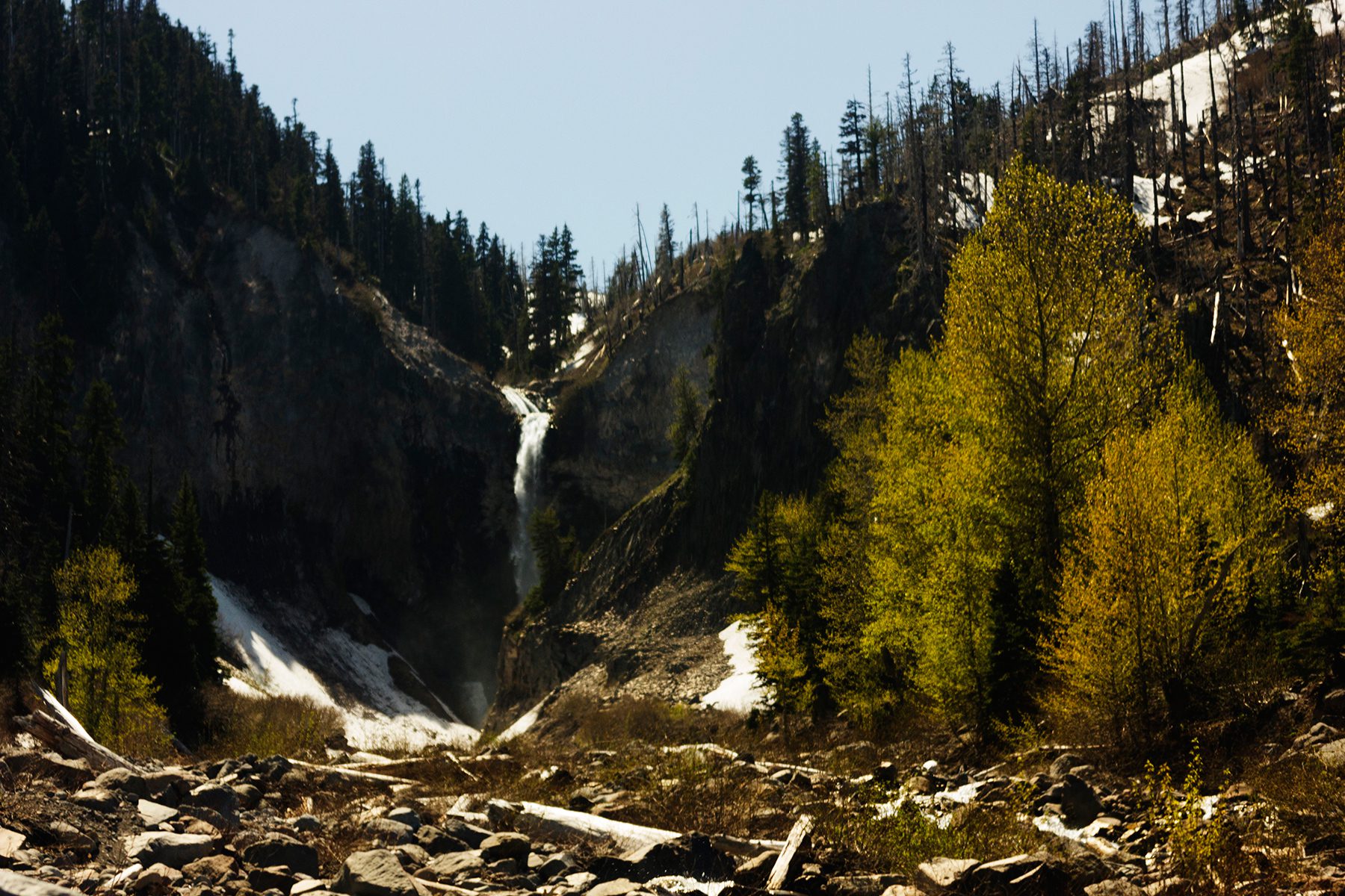
Approaching Wallalute Falls

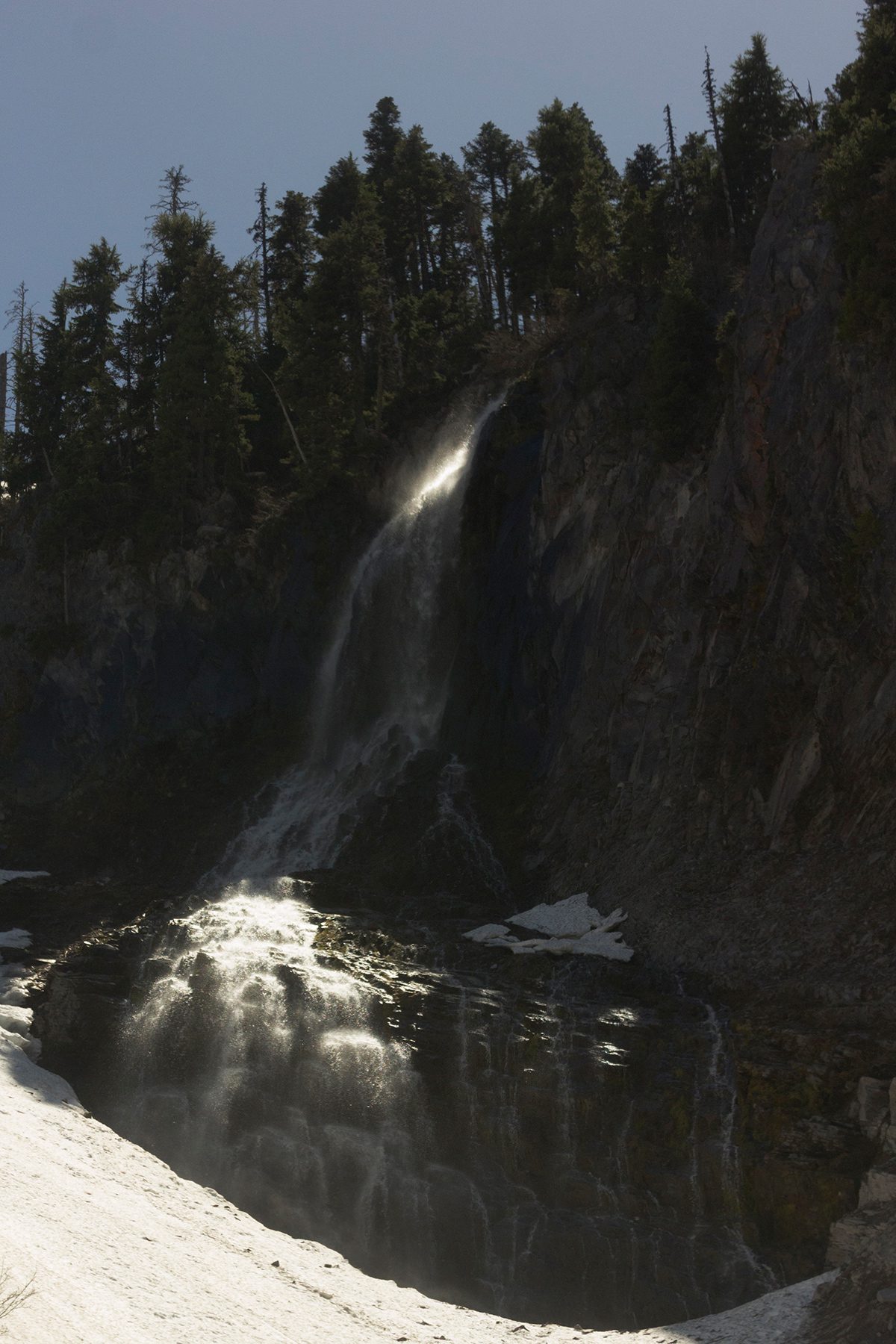
Wallalute Falls
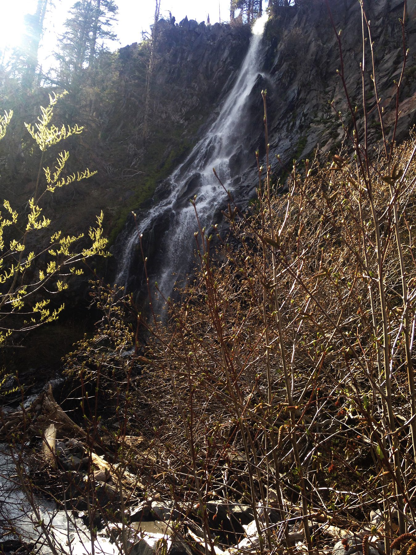
Noname falls directly to right of Wallalute Falls ( seasonal? )

Walking back past Stranahan Ridge toward Cove Creek Falls
Cove Creek Falls
At the end of it the nomenclature for the falls are not the important thing but it was a nice way to go explore some more of Mt. Hood and see a few more waterfalls. A long hike – with few stops and challenging lighting conditions for some of the falls due to time of the day – will have to return for another go. We had to park 2 miles from Laurence Lake due to road closure/flood washout so that added an additional 3 miles in and out to the trail head.
#mthood #oregon #falls pic.twitter.com/PnvLUxPTqO
— CL PHOTO (@clislephoto) May 17, 2018
#WapitiFalls #mthood #pnw pic.twitter.com/G68cYCiiyO
— CL PHOTO (@clislephoto) May 17, 2018
Useful info: www.oregonhikers.org
The no name waterfall to the right of Wallalute is named Ogin Falls and it flows all summer. It does get lower near the end of September. If you look up Wallalute Falls on the Portland Hikers website there are a few trip reports from there. Nice pictures!
Thanks, yeah its been fun exploring some of the more off-piste waterfalls at Mt. Hood.